Here’s a hiking spot for every Cape Cod town
"This is a way to experience the Cape in a very different way."
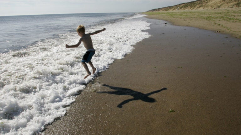
Cape Cod is known for its beaches, but the area has at least 500 hiking, walking, and mountain biking trails across 400 square miles.
“They’re everywhere,” said Bill DeSousa, publicist for the Cape Cod Chamber of Commerce and an avid Cape hiker for the past decade. “This is a way to experience the Cape in a very different way, to appreciate it for not just being a great place at the beach but also for its wonder, majesty, diversity of terrain.”
DeSousa recommended the following 15 hiking spots on the Cape — one for every Cape town.
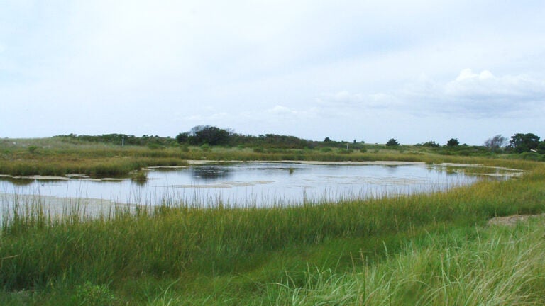
Bourne: Four Ponds Conservation Area
Hikers can explore ponds, wetlands, and pine-filled forests at this 280-acre location.
“There’s a very serene, peaceful, and generally level path,” DeSousa said. “A good one for beginners.”
Visitors can choose from shorter trails such as Eagle Trail and Lions Tail Trail and longer trails such as Pine Trail and Town Forest Trail. Watch for boardwalks that go over marshy areas, he said.
Hiker level: Beginner and up.
Sandwich: Maple Swamp Conservation Area
The 500-acre area offers views north across Cape Cod Bay to Provincetown and south to Vineyard Sound. Hikers will spy everything from oak to pine to hickory to maple trees.
“There are some pretty steep hills here with a tremendous variety of vegetation and many kinds of stands of trees,” DeSousa said.
Hiker level: Intermediate and up
Falmouth: Francis Crane Wildlife Management Area
This 1,800-acre area is very diverse and popular with mountain bikers as well as hikers, DeSousa said. Hikers will discover deep forests and a rare expanse of meadowland.
“It has one of the tallest hills on the Cape,” said DeSousa. “It’s called Mount Zig. There is also some pretty steep terrain there and it is absolutely chock-full of wildlife.”
Hiker level: Intermediate and up
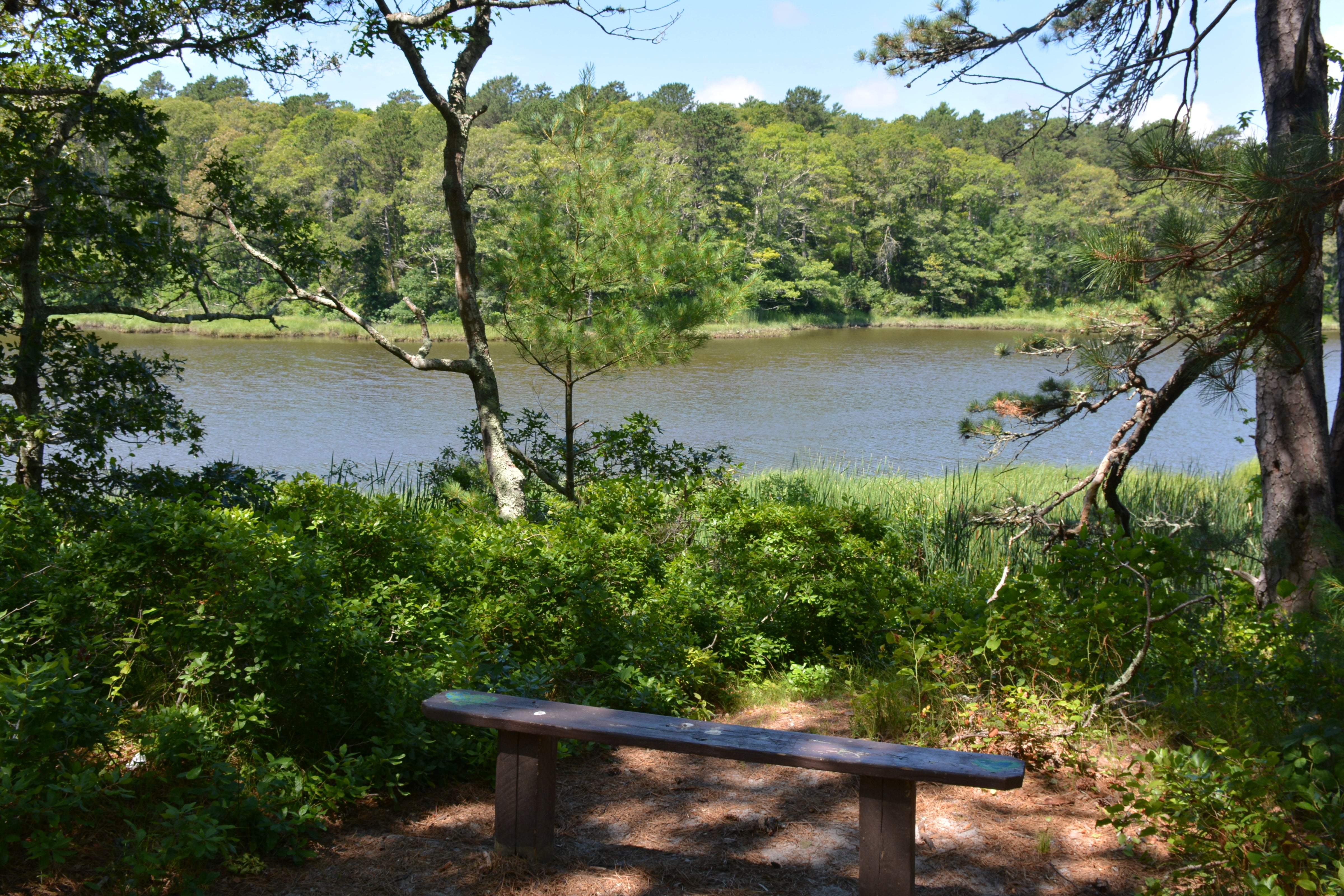
Mashpee: Mashpee River Reservation & Mashpee River Woodlands
DeSousa called this hike of two contiguous Trustees of Reservations properties on 248 acres one of his favorites on the Cape.
“You can literally, in parts of it, walk directly along the Mashpee River,” DeSousa said. “It’s just beautiful.”
The heavily forested trails have plenty of shade, and you can cross the river on what’s called the “Great Bridge,” which is part of the old Route 28, he said.
Hiker level: Beginner and up
Barnstable: West Barnstable Conservation Area
With 1,114 acres and more than nine miles of trails, this conservation area offers something for everyone, DeSousa said.
“This is my absolute favorite,” DeSousa said. “It’s the beauty, it’s the diversity of terrain. They have stands of pine trees, they have whole areas that are full of beautiful beech trees, and then they have deciduous trees, they have some wetlands, some marshes.”
Hiker level: Beginner and up
Yarmouth: Bud Carter Conservation Area
This 300-acre conservation area marks the highest point in Yarmouth, 118 feet above sea level, where visitors can see Plymouth’s Manomet Point on a clear day. Be prepared to share the trail with mountain bikers, DeSousa said.
Hiker level: Intermediate and up
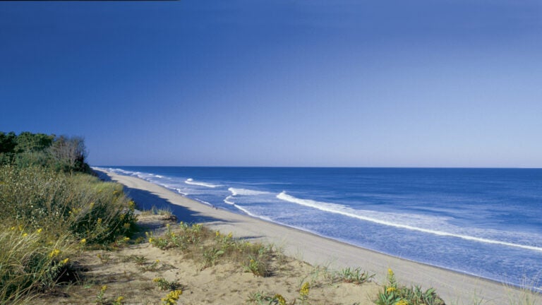
Dennis: Crowes Pasture Beach Trailway
Beach-loving hikers will enjoy this 124-acre part of Dennis, said DeSousa.
“It’s a coastal forest for a short period and then you actually end up on the beach,” DeSousa said. “It’s right on Cape Cod Bay.”
Hiker level: Beginner and up
Brewster: Punkhorn Parklands
“It’s just wild and beautiful,” said DeSousa about this 835-acre spot. “It’s untamed. It has a lot of wildlife, a tremendous variety of trees.”
The densely forested paths are generally flat, DeSousa said. Hikers will also encounter a number of large kettle ponds.
Hiker level: Beginner and up.
Harwich: Bell’s Neck Conservation Area
The trails at this 259-acre conservation area, which surround the West Reservoir and East Reservoir, are flat and offer gorgeous water views, DeSousa said.
“You walk between the two bodies of water,”he said. “It’s very interesting. It’s really beautiful.”
Hiker level: Beginner and up
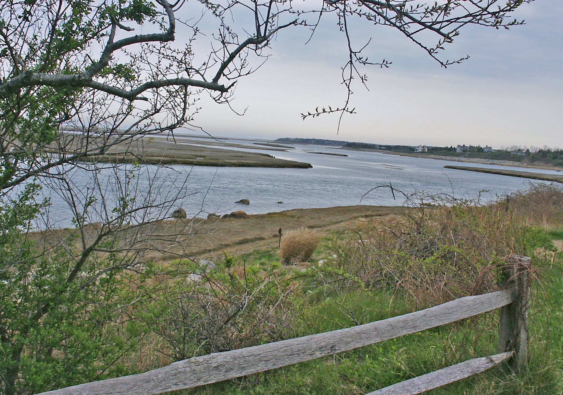
Chatham: Monomoy National Wildlife Refuge
This 7,604-acre area is full of salt and freshwater marshes, dunes, and freshwater ponds. The refuge is a favorite among bird enthusiasts, DeSousa said. There are more than 10 species of seabirds, shorebirds, and waterbirds, according to the refuge.
“It’s very serene and it’s a path along the beach,” DeSousa said.
Hiker level: Beginner and up
Orleans: Three Ponds Conservation Area
This area has more than two miles of trails on more than 100 acres and features three ponds: Twinings Pond, Sarah’s Pond, and Meadow Bog Pond.
“Surrounding the ponds are stands of pitch pine and hardwoods providing nesting areas for the area’s many birds,” DeSousa said.
Hiker level: Beginner and up
Eastham: Fort Hill Trail and Red Maple Swamp Trail
The 1.5-mile Fort Hill Trail, which takes visitors through a coastal forest, connects to the Red Maple Swamp Trail, DeSousa said, and it’s all part of the Cape Cod National Seashore.
“They both take about an hour,” DeSousa said. “They’re just walks and not really what I’d call hikes. But they are beautiful.”
From the trails, visitors can view the historic 1868 Edward Penniman House and walk the Red Maple Swamp Boardwalk, he said.
Hiker level: Beginner and up.
Wellfleet: Great Island Trail
This area, part of the Cape Cod National Seashore, is comprised of more than eight miles of trails with woods, marshes and beaches, said DeSousa, who enjoys the trail’s diversity.
“You walk out onto the beach and all of a sudden you aren’t on the beach anymore,” he said. “You hear the ocean in the background. There’s more and more vegetation and, all of a sudden, you’re in a pine forest.”
Hiker level: Beginner and up.
Truro: Pamet Area Trail System
These 4 miles of trails, part of the Cape Cod National Seashore, run through the Pamet River Valley, a hilly area of Truro. Hikers can get a bird’s-eye view of the ocean and valley from Bearberry Hill.
“You can actually see an old cranberry house and there are wild cranberry bogs,” DeSousa said.
Hiker level: Intermediate and up.
Provincetown: Dune Shacks Trail
This 2.4-mile loop trail, part of the Cape Cod National Seashore, takes hikers past 19 dune shacks where major American writers and artists such as Jack Kerouac and Jackson Pollock spent time in the 1920s and beyond.
DeSousa called the hike, full of rolling sand dunes that lead to the ocean, “an amazing experience.”
“It’s like looking at a moonscape of beautiful undulating dunes,” he said. “It is really one of the most unique experiences you can have on the Cape.”
Hiker level: Intermediate and up


Conversation
This discussion has ended. Please join elsewhere on Boston.com